How do we know if and where Social Distancing is working? Join us and learn!
Article by apicsie, May 3, 2020[addthis tool=addthis_inline_share_toolbox_rgf2]
Dear Members, Sponsors, Business Partners and Supply Chain Colleagues:
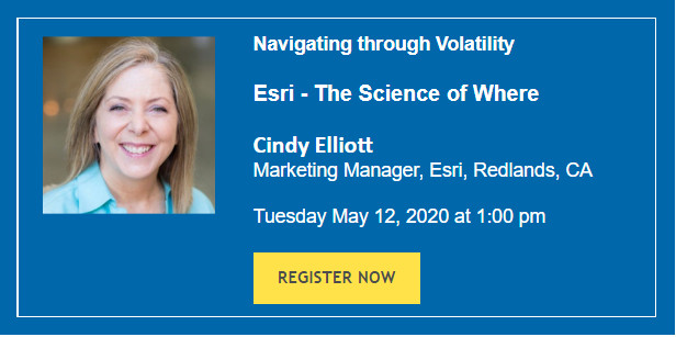
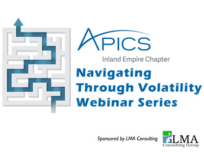
We are very proud and privileged to bring bring you Esri – The Science of Where to our “Navigating through Volatility” webinar series.
Located right in our backyards in Redlands, Esri is the world leader behind the COVID 19 maps and dashboards providing valuable mapping solutions to FEMA and other local public health agencies during these unprecedented times.
FEMA’s federal, state, local, tribal, and territorial partners can obtain free Esri software and SaaS solutions for the purpose of supporting their COVID-19 response. This includes Esri’s ArcGIS platform for visualization, analytics, and geodatabase management.
If you have ever wondered if ‘social distancing’ helps and how do our public health agencies determine where social distancing is working then join us and learn more about this fascinating mapping solution powered by Esri.
All our Navigating Through Volatility Webinar Series are “No Charge” events
sponsored by LMA Consulting, Inc.